Cut-to-Fill Operations
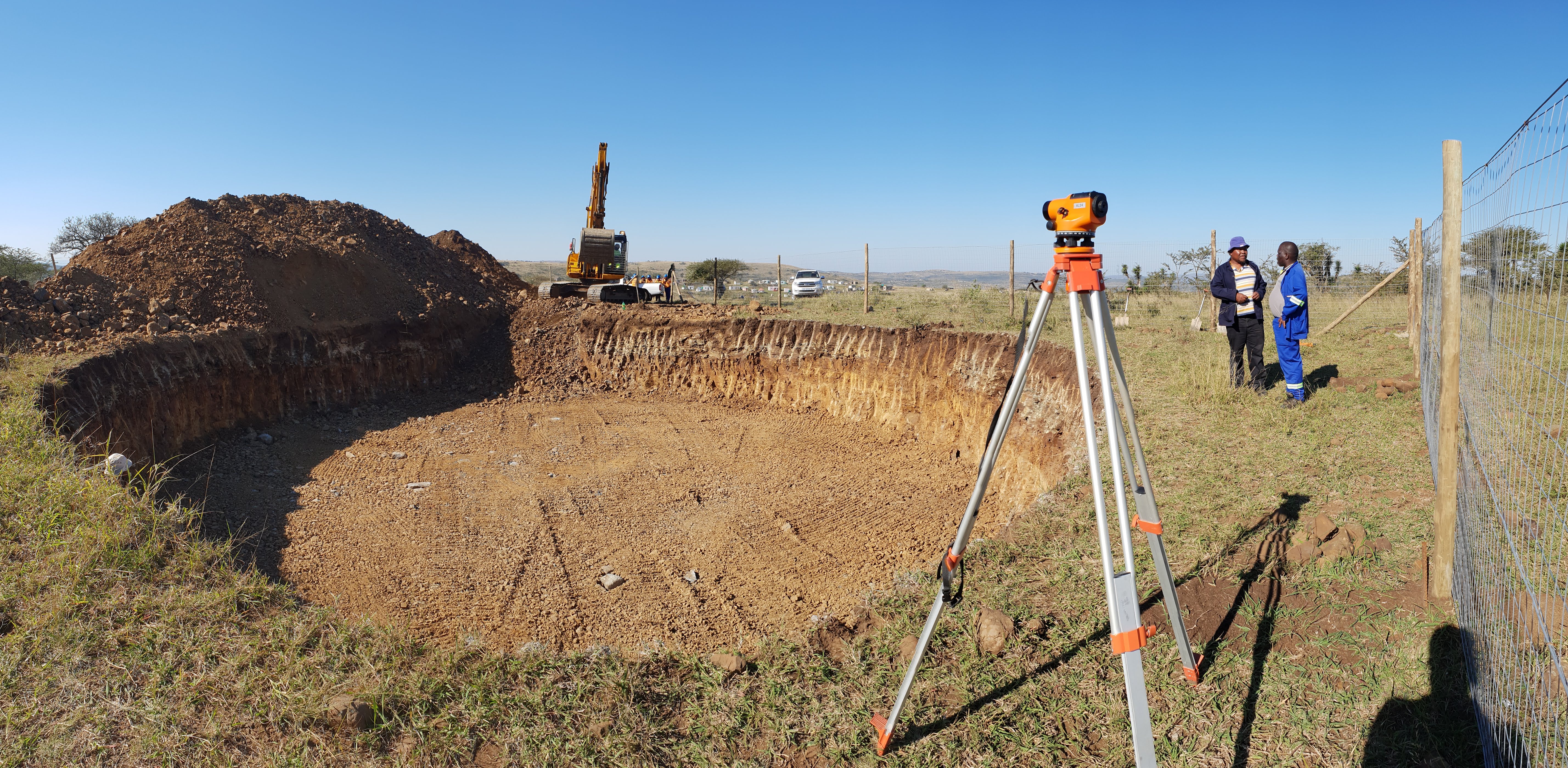
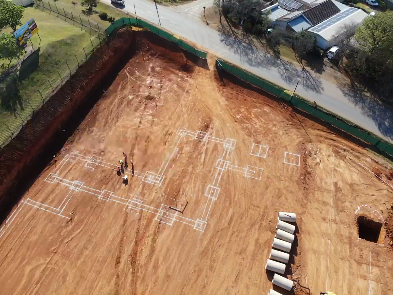
Advanced volumetric calculations for mass earthworks. We balance the site to minimize the import/export of soil, designing stable platform terracing and embankment retaining systems that save millions in raw material costs.
Road Geometry
Designing alignments, curves, and heavy-duty wearing courses for municipal highways, deep-rural agricultural haulage paths, and internal logistics hub roadways designed to withstand 40-ton articulated trucks.
Hydraulic Drainage
Catchment profiling and complex hydrodynamic design. We engineer large-scale stormwater bypass networks, concrete-lined agricultural channels, and effluent retention structures that protect the primary asset from flood damage.